Term 2

UKS2 used atlases to locate the seven different continents, 5 oceans and some countries on their world maps.
|
|
|
|


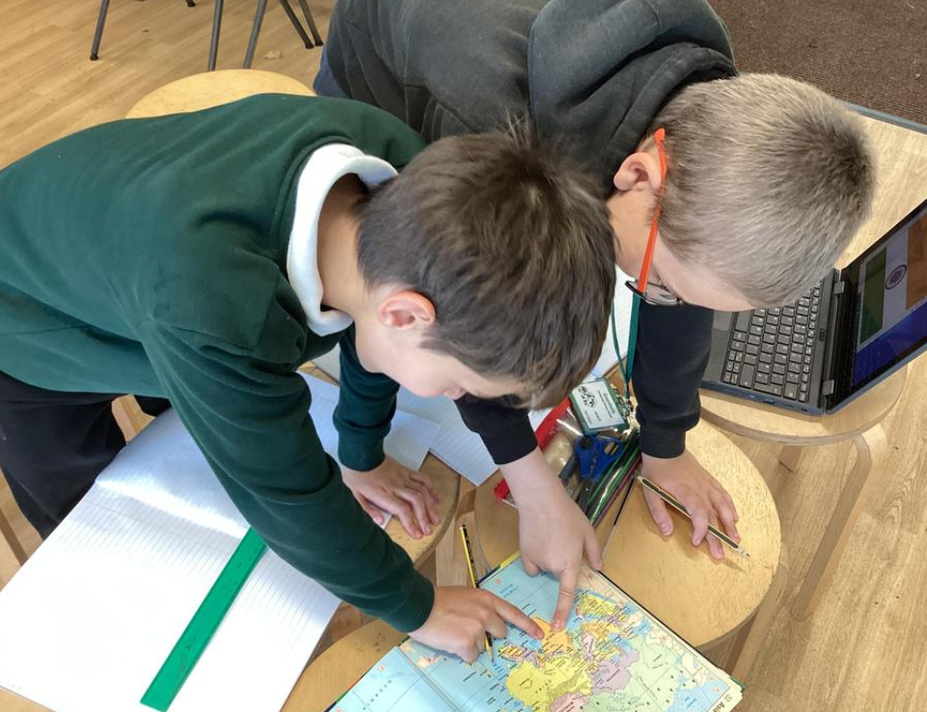
The children located the Northern Hemisphere, Southern Hemisphere, the Tropics of Cancer and Capricorn, Arctic and Antarctic Circle, the Prime/Greenwich Meridian.

They looked at different regions of India and created their own climate maps to show the different climates of each region experiences.


Some children made presentations on the physical features of India. To take a look, click on the link below. Others used Google Earth to look at features.


The children then researched Human features of India as well as, their government, food, economy and religion. They made a poster and script, using the information they had learnt to perform to their class.


In addition to their Art focus, KS1 learnt where Aboriginal Art came from, locating Australia and comparing it to an area of this country.
Year R
Year R have been looking closely at the changes been happening in their immediate environment.


